.JPG)
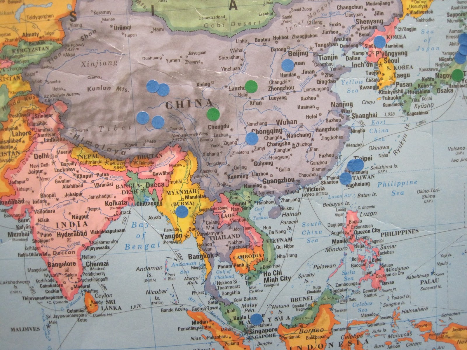
Elaine's class and my class of first and second graders came prepared today to do our big mapping activity. As we have been talking about immigration and how everyone who lives in our country is either an immigrant themselves or has ancestors who are immigrants, this was a very visual way to represent the variety of our "melting pot" school community. (Elaine made the interesting comment that a teacher of hers used to refer to America as more of a "tossed salad" than a melting pot, since we retain much of the culture from which we've come. I definitely prefer this.)
Students had listed where they were born, where each of their parents were born, and where all of their grandparents were born. Using colored stickers, we helped them put the stickers in the appropriate place. Red stickers were used for the students. All of the red stickers ended up on the United States map, and - not surprisingly - most of them were in Michigan. Green stickers represented parents, and these were more widespread. And grandparents (blue stickers) were the most widespread of all, many ending up in parts of China and Europe.
If you haven't already, please take a moment to look at our maps and talk it over with your child. It was lovely to see some parents at pick-up time admire our work and to engage in conversations with each other with with the students.


1 comment:
Ancestry is becoming so very important and having a knowledge of where family came from is rewarding to know. The world map is a wonderful idea.
Post a Comment